New
LAFCO is seeking to develop a regional strategy for growth in the County through a planning effort with partners and cities.
Create a regularly occurring opportunity for cross sector sharing learnings and collaborating on potential policy, actions and projects.
Develop and pilot a replicable process and framework for developing wildfire resilience plans for housing developments in high fire risk areas.
Create and implement an education program to build youth resilience to climate change induced crises. This project builds local capacity to quickly respond to wildfire and other disasters in a coordinated and responsive way.
Often the biggest challenge to habitat restoration and fuel mitigation is labor capacity. The Ecological Restoration Volunteers project would train volunteers and implement restoration projects such as invasive species mitigation and restoring and monitoring habitat.
Create a fund to study ecological/ecosystem recovery processes. Studies would include, at a minimum, a baseline biological assessment after every disaster, to identify sensitive natural communities, threats (i.e. invasive species vectors/vulnerabilities) and priorities for mitigation/restoration.
In Progress
Create and implement an education program to build youth resilience to climate change induced crises. This project builds local capacity to quickly respond to wildfire and other disasters in a coordinated and responsive way.
Host a series of convenings or summits to develop a framework for a community supported grazing program.
Implement a Prescribed Fire Training Exchange (TREX) and cooperative burns to provide experiential training that builds robust local capacity for…
In June of 2021, the Land Trust of Santa Barbara received a grant of $23,588 from the Coastal Conservancy for a targeted prescribed grazing project at the Arroyo Hondo Preserve, a project that the RPP team had identified through their outreach efforts to the Land Trust and helped facilitate funding for.
Partially Funded/Partially Underway
LAFCO is seeking to develop a regional strategy for growth in the County through a planning effort with partners and cities.
Develop and pilot a replicable process and framework for developing wildfire resilience plans for housing developments in high fire risk areas.
Completed
Prescribed fire can help reduce fuel loads in key areas that are safe to burn and where there has been a dearth of fire in the past.
Prescribed grazing (also known as prescribed herbivory) enables fuel treatment in sloped and difficult to access areas where other vegetation management options are challenging or impractical.
Recommended
Create a regularly occurring opportunity for cross sector sharing learnings and collaborating on potential policy, actions and projects.
Often the biggest challenge to habitat restoration and fuel mitigation is labor capacity. The Ecological Restoration Volunteers project would train volunteers and implement restoration projects such as invasive species mitigation and restoring and monitoring habitat.
Create a fund to study ecological/ecosystem recovery processes. Studies would include, at a minimum, a baseline biological assessment after every disaster, to identify sensitive natural communities, threats (i.e. invasive species vectors/vulnerabilities) and priorities for mitigation/restoration.
Develop a replicable framework for creating a fire-safe landscape with healthy ecological function in post-fire recovery areas …
The Cachuma Resource Conservation District (CRCD) plays a critical role in our community as a partner to and bridge between farmers, ranchers and other landowners and conservation groups and agencies focused on the health of our land, water, soil, wildlife, agriculture and food systems.
Santa Barbara County Fire Department (SBCFD) serves as Santa Barbara County's Cal Fire Unit and regularly produces an Annual Strategic Unit Plan as mandated by Cal Fire that inventories the fire prevention projects SBCFD has in various stages of its planning and implementation processes.
Guadalupe City leaders noted that an area next to Leroy Park and adjacent to the Santa Maria River is considered a high fire risk to nearby vulnerable population concentrations.
Reducing combustible vegetation in the immediate vicinity of homes, other buildings, infrastructure and transit corridors is one of the most effective actions available for fire risk reduction in the county.
A key SBC Fire Department leader shared that Santa Barbara County needs to increase the pace and scale of fine scale mapping of built and natural resources to facilitate effective planning and avoid unnecessary conflicts.
When fires occur, they often start in areas of the national forest and enter into the unincorporated WUI portions of the County. There is a need to conduct detailed mapping of invasive, flammable vegetation or other fire risks…
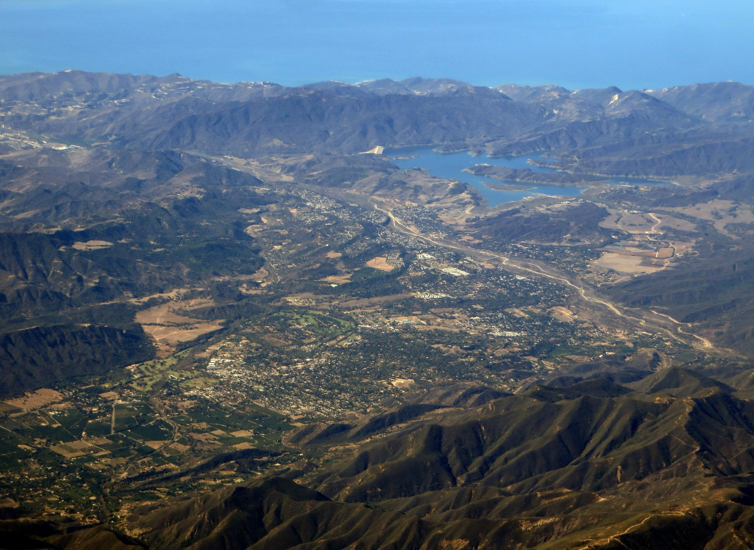
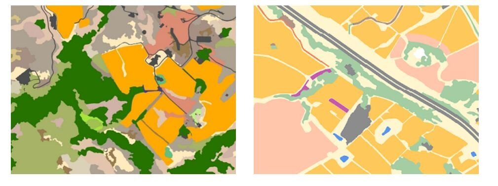
There is a long term need to acquire Santa Barbara County wide, cross jurisdictional, LIDAR data in addition to the periodic orthographic overflights that are undertaken for aerial mosaic mapping product needs.