
Improve the Regional Priority Plan Spatial Decision Support System Tool Over Time
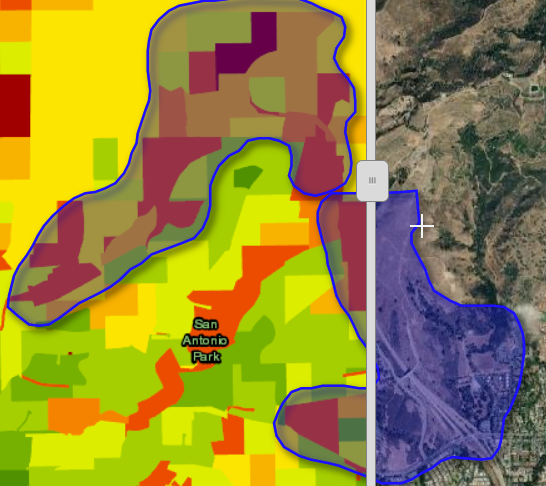
The RPP Spatial Decision Support System (SDSS) described in the mapping section of the website was built to be incrementally improved over time. Such improvements would include the addition of important variables to the analytic model (for example, adding data about where fires have been driven by Sundowner or Santa Ana wind events and the severity of the impact of such events). They could also include the creation of additional versions of the SDSS to address particular questions of importance to the community and its fire agencies. Some of this work may happen within the context of the Regional Wildfire Mitigation Program, a project funded by the National Fish and Wildlife Foundation and administered by SIG-NAL and others, underway as of 2022 after funding was awarded (ongoing).
Status: Funded
Cost: Low
Partners: Spatial Informatics Group - Natural Assets Laboratory (SIG-NAL)
Funding Sources: May be funded in full or in part through the Regional Wildfire Mitigation Program
Permitting: None